Home · Catalogue · Travel & Exploration · S.I.6754

A Topographical Dictionary of Ireland, Comprising the Several Counties, Cities, Boroughs, Corporate
Market, and Post Towns, Parishes, and Villages, with Historic and Sytatistical Descriptions; Embellished with Engravings of The Arms of The Cities, Bishopricks, Corporate Towns, and Boroughs; and The Seals of The Several Municipal Corporations: With an Appendix, Describing the Electoral Boundaries of The Several Boroughs, as Defined by The Act of The 2d & 3d of William IV... In Two Volumes.---AND--- Lewis's Atlas Comprising the Counties of Ireland and a General Map of The Kingdom. (Illustrated with 33 maps, one folding)
Lewis, Samuel · London
Guaranteed authentic and as described · 7-day returns · free shipping within the continental US · international shipping quoted on enquiry · ships in 1–3 business days · our terms. Available until paid for.
Rated 5.0 by buyers on Etsy and Google.
VisaMastercardDiscoverApple PayPayPalCheck / wire
Condition
Grade: Very Good
- Author
- Lewis, Samuel
- Place
- London
- Publisher
- S. Lewis
- Language
- Spanish
- Binding
- 4to.(8.75" x 10.75") 3 volumes. Full hunter green buckram. Spine similar with gilt author/title/vol# to double gilt rule bordered black leather towards head of spine. Atlas with engraved title page contains 33 maps, one folding. The folding map with lengthy closed tear, early repair with cellophane tape. Prior owners name in old ink neatly to top of contents page. Armorial bookplate of Patrick J. Heron to front pastedowns. 62 pp. of subscribers to Vol.I. text in two columns. Some foxing, finger smudges to fore-edges of several leaves. Light dampstain to lower corner of last 68 pps. of Vol.II.
- Volumes
- 3
- Condition
- Very Good
- Category
- Travel & Exploration
- Record
- S.I.6754
A Topographical Dictionary of Ireland, Comprising the Several Counties, Cities, Boroughs, Corporate, Market, and Post Towns, Parishes, and Villages, with Historic and Sytatistical Descriptions; Embellished with Engravings of The Arms of The Cities, Bishopricks, Corporate Towns, and Boroughs; and The Seals of The Several Municipal Corporations: With an Appendix, Describing the Electoral Boundaries of The Several Boroughs, as Defined by The Act of The 2d & 3d of William IV... In Two Volumes.---AND--- Lewis's Atlas Comprising the Counties of Ireland and a General Map of The Kingdom. (Illustrated with 33 maps, one folding). Lewis, Samuel. London: S. Lewis. 3 volumes. 4to.(8.75" x 10.75") 3 volumes. Full hunter green buckram. Spine similar with gilt author/title/vol# to double gilt rule bordered black leather towards head of spine. Atlas with engraved title page contains 33 maps, one folding. The folding map with lengthy closed tear, early repair with cellophane tape. Prior owners name in old ink neatly to top of contents page. Armorial bookplate of Patrick J. Heron to front pastedowns. 62 pp. of subscribers to Vol.I. text in two columns. Some foxing, finger smudges to fore-edges of several leaves. Light dampstain to lower corner of last 68 pps. of Vol.II. Condition: Very Good.
Enquire about this book
More in Travel & Exploration
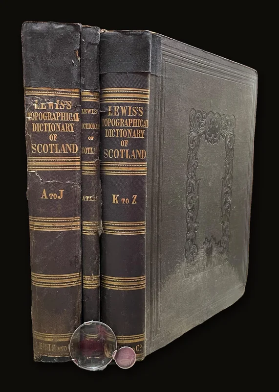 A Topographical Dictionary of Scotland, Comprising the Several Counties, Islands, Cities, Burgh and market Towns…Lewis, Samuel · 1847$495
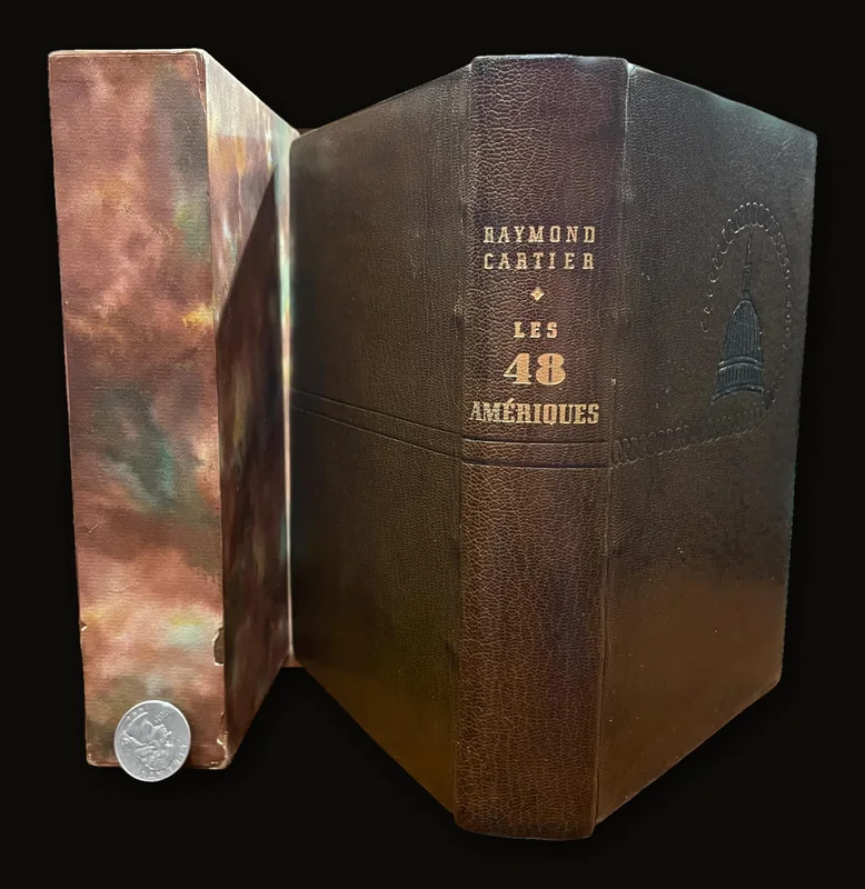 Les Quarante-Huit Ameriques Avec 4 cartes dans le texteCartier, Raymond · 1953$150
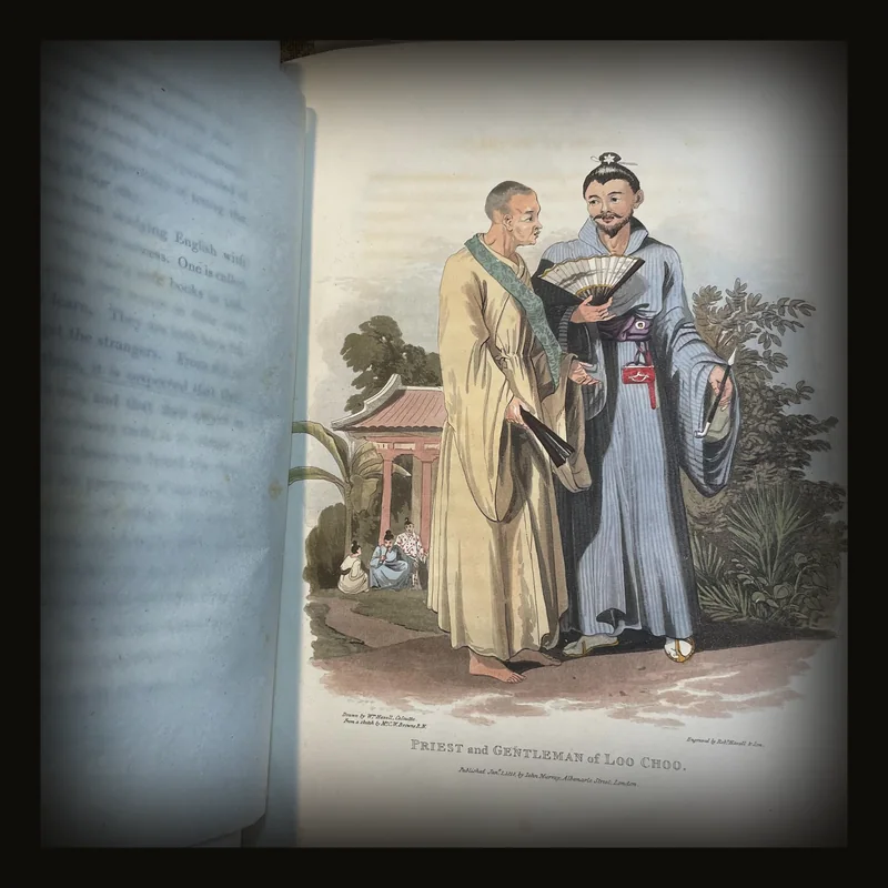 Account of A Voyage of Discovery to The West Coast of Corea, and The Great Loo-choo IslandHall, Capt. Basil · 1818$4,495
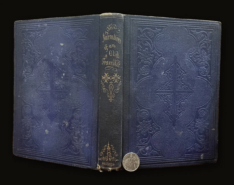 The Narratives of An Old Traveller; Containing The Perils and Hair-breadth Escapes From Shipwreck, Famine, Wild Beasts…Knelb, Dr. PH.H. and (Trans.) By a Lady · 1856$225